Cassini Maps Logo - High Quality Historical UK Mapping Discover the landscape of the past with cassini old map reproductions New 1:2,500 highly detailed maps of your area
Cassini Maps Home Button
 
Education Login Affiliate Login Contact Us Frequently Asked Questions Postal Rates Order Form Legal - Terms and Conditions and Privacy Statement

Home Button Home Button Home Button Home Button Home Button

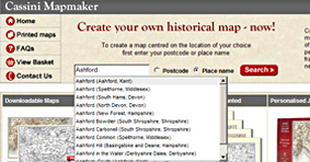
To create a map centred on the location of your choice
first enter your postcode or place name

 
Postcode  Place name
 
New to Mapmaker! Downloadable Maps Printed Maps Rolled Printed Maps Mounted Personalised Jigsaws

Historical street-level mapping
Many people have asked if we could add larger-scale mapping to our product range – and now we have! Large-scale (1:10,000) now available.

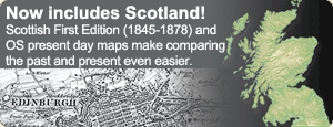
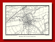
Download unique historical maps centred on any location in England and Wales and Scotland. Choose from four mapping series, from 1805 to the present day.
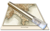
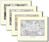
Choose from four mapping series spanning the period from 1805 to 2009. Select a location, add a personalised title and receive your map in a gold presentation tube.
Choose the location for your map and let Cassini print and mount your maps ready for framing. Choose from four mapping series, spanning the period from 1805 to 2009.
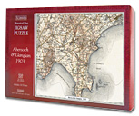
Piece together the past of any part of the country with this jigsaw puzzle of late-victorian Ordnance Survey mapping. Jigsaw size: 38cm x 50cm. 520 pieces.
View sample PDF
Now From £5.95
From £14.95
From £19.95
Out of stock


Search for a location by selecting either 'Postcode' or 'Place name' and entering the relevent information.
* We currently only cover England and Wales


Confirm your location, size of map and zoom level.
Modern day mapping is used to help you position your map exactly to your requirements.


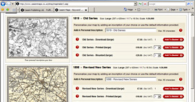
Choose the type of map or product you require. there are currently five series of mapping covering 1805 to 1948. You can also add a personalised inscription to your map.